

Climate risk assessment (CRA)
Planning for the different phases of the risk management necessarily requires a solid knowledge of risk. To implement effective risk reduction measures, the first step is to identify potential risks and assess them in terms of likelihood and impact. This is usually done through a risk assessment, which should ensure risk-informed decision making and effective risk management. The identification of climate-related risks and associated impact is called Climate Risk Assessment (CRA).
A CRA helps cities:
- Identify current and future climate hazards
- Assess the impact on people, infrastructure, and ecosystems
- Build evidence-based adaptation strategies
- Prioritize climate actions and investments.
A CRA can be quantitative, qualitative, or a mix of both. It helps visualize climate risks in relation to city sectors, development priorities, and resilience strategies.
How To Run a CRA?
There are different methodologies to run a climate risk assessment. Quantitative approaches require comprehensive data collection (as detailed as possible) and rely on climate models, historical data and projections. More qualitative assessments can help different stakeholders visualize potential risks and uncertainties; impact diagrams and risk matrixes can be used as tools in workshop and participatory sessions.
Following the “Climate change risk assessment guidance” developed by C40, there are two components that cities should report as part of a CRA.
Hover over each flip card to learn more
Climate-related hazards
Impact assessment of hazards
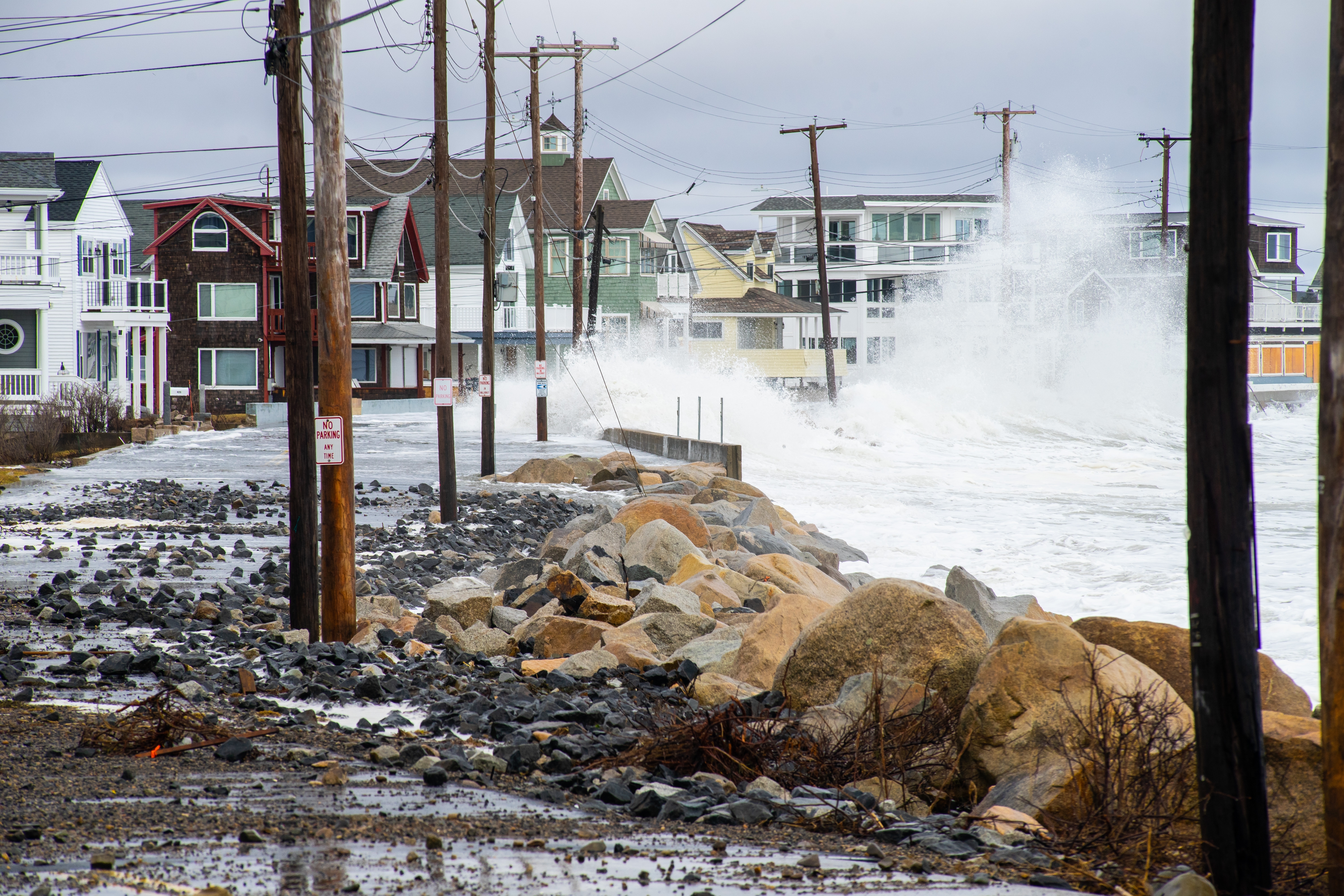
Examples of climate-related hazard are heatwaves, increase in extreme rainfall, prolonged droughts, coastal flooding and others. The wide variety of climate hazards can be overwhelming. However, many hazards are related to other hazards. For the sake of overview in a climate risk assessment, it helps to categorise climate hazards into recognizable themes. In practice, hazards tend to fit well in heat, drought, flood storm and sea-level rise related themes. Climate data and information about hazards can be found looking at historical events and projections. The C3S Climate Data Store offers a one-stop shop for information about the past, present and future climate. Other local data may be accessible looking at national and regional meteorological institutes.
Key Factors in Assessing Climate Risk
Impact generally refers to the effects and consequences that a hazard poses on human lives, livelihoods, ecosystems, but also on materials assets, infrastructure and services. Examples include drink water shortages, increased energy consumptions, change of distribution of biodiversity, damage to infrastructure, crop failure. A detailed impact assessment seeks to characterize, diagnose and prioritize sectoral impacts, such as on health, environment, agriculture, transport and other industries. To quantify the impact of climate-related hazards, it is important to consider both exposure and vulnerability.
Click each tab to learn about key factors.
Exposure
The presence of people, ecosystems, infrastructure, and resources in areas prone to climate hazards.
Examples of exposure indicators include:
- Percentage of population in low-lying areas
- Population concentration in flood zones
- Infrastructure dependence on vulnerable areas
Vulnerability
The susceptibility of people, systems, and infrastructure to harm due to physical, social, economic, and environmental factors. This includes:
- Physical factors: Poorly designed infrastructure, land-use planning
- Social factors: Poverty, inequality, demographics
- Economic factors: Dependence on specific industries, access to natural resources
- Environmental factors: Location, biodiversity, elevation
Steps in Conducting a Climate Risk Assessment
Moving to the development process of a climate risk assessment, different methodologies exist and can be followed. In general, a climate risk assessment starts with setting the context and stakeholder engagement (i.e., determine goals and objectives, identify existing resources), then it focuses on the analysis of risks and their impact (i.e., analysis of sector-based hazards and risks, including socio-economic and environmental context, past climate events, climate change trends and forecast). The analysis can generate risks and vulnerabilities maps, highlighting priority risks, hotspots and sectors primarily affected. These might apply both for present and future climate scenarios.
For example, GIZ has developed a 6-step methodology for the assessment of climate-related risk. Click each step to learn more.
Analysis of status quo-information needs and objectives
This phase focuses on creating the profile of the context by collecting necessary information and analysing both climate-related data as well as the socio-economic data and the existing policy framework. It also includes the identification and mapping of relevant stakeholders to be involved in the assessment.
Hotspot and capacity analysis of system of interest
identification of the regions or sectors to be analysed based on potential (climate) risks, socio-economic and ecological factors, institutional factors and availability of data. Stakeholders are consulted during this activity.
Development of a context-specific methodological approach
A context-specific methodology is selected, defining which quantitative and/or qualitative approaches are followed, which data collected are used and the timeframe of the assessment. Further stakeholders are consulted or interviewed.
Qualitative and quantitative risk assessment
Based on the methodological assessment decided, the results of the assessment are presented, explaining how current and projected climate change impact might affect local communities and systems.
Evaluation of risk tolerance
Assessment of risk tolerance for communities and sectors based on different scenarios. This can be done through expert judgments on level or risk tolerance (acceptable, tolerable, intolerable), as well as in consultation with stakeholders and communities (for instance through filed surveys or risk perception activities).
Identifying Feasible Adaptation Options
The last step focuses on identify which measures can effectively prevent or reduce potential losses and damages, and at which costs. This step should include a prioritization of options together with stakeholders and aim at supporting decision making.
This methodology targets decision makers from national to the local government level, and it is flexible by design, allowing for revision of decisions over time based on new evidence or data on local conditions. Step 5 and 6 make this approach more comprehensive, addressing aspects of resilience and decision making beyond the analysis of traditional climate risk assessments.
Example of Climate Risk Assessment
In 2024, the European environment Agency released the first European Climate Risk Assessment (EUCRA), highlighting 36 major climate risk that pose a threat to Europe’s population, ecosystems, as well as economic and social systems.
According to the report, many of these risks have already reached critical levels and can become catastrophic without urgent and decisive action.
The identified climate risks were evaluated in the contexts of risk severity, policy horizon, policy readiness and risk ownership. Both quantitative and qualitative aspects were considered (such as social justice). The risks were also analysed looking at five broad clusters: ecosystems, food, health, infrastructure, and economy and finance.
From a methodological point of view, a structured risk assessment was conducted to support the identification of priorities for policy action. A 4-step approach was followed, based on risk identification, risk analysis, policy analysis, and urgency evaluation.
Summary
Reflection
- What is a Climate Risk Assessment (CRA) and why is it important?
- What are the main components that should be part of a city climate risk assessment?
- How does a local CRA support local decision making?

